30 August, 2014

West Coast Best Coast

After finally reaching the west coast, we began our trip down the length of the island in Punakaiki and Hokitika, two of the main travel destinations in the island's northwest region. Hokitika was also where we picked up Maria (from the smallest airport I had ever seen - the entire baggage claim and waiting area was probably about the size of my house), who had been on a field trip the first few days of our trip. Finally KARMA was complete!

The first thing we did in Punakaiki was a walk to some caves. The sign at the start of the track warned us that there were two river crossings, but we figured there would be rocks or logs or something to jump on. Alas, we actually had to take our shoes and socks off and walk through the freezing water! Then, we had to walk barefoot across another area of rocks, pictured above, to the next stream and do the same thing again.


Walking through the jungle.

In the cave! It actually went back really far but I wasn't able to get any good pictures since it was dark. It was really cool to get to go into a cave where you could actually climb on and touch the rocks, unlike most caves I've been to which are roped off and paved over. 

After successfully crossing both rivers on the way back!

Side note: if I can master the art of iMovie I'll be compiling a video of my study abroad escapades, so look out for videos of this "river forging" in that.

After our hike, we went to Punakaiki Pancake Rocks, one of the most touristy places we've gone. But hey, we're sort of tourists, right?

Looking out at the Tasman Sea (weird that the Pacific Ocean is on the east coast here).

The pancake rocks! Called so because they look like stacks of flat pancake shaped rocks, caused by solidification of limestone into different hard and soft layers. At the bottom you can see one of the blowholes, which apparently are much more exciting at high tide.

Here you can see a little more closely the layering effect in the rock.

Watching the sunset after a drive along the coast with our windows down and jamming to the Beach Boys :)

Eddie at dusk.

The next day we picked up Maria and then headed to the famous Hokitika Gorge. 


The color of the water was crazy and so beautiful! It was also super clear - that rock you see in the water is actually underwater, not a reflection. 

Always having some fun on swing bridges.


Some fun signs in the Hokitika town :)


The above five photos are all from Sunset Point, a small peninsula of land where we watched the sunset, of course. To our left was the sun setting over the ocean, and to our right was beautiful, purple, snow capped mountains in the distance. Lonely Planet was right in saying that "THIS is New Zealand".


28 August, 2014

Coast to Coast

After Kaikoura, which is in the northeast area of the south island, we made our way across to the northwest area to continue the rest of our trip which would go down pretty much the entire west coast of the island. I will admit that some of these photos are from the drive to Kaikoura, since we got little lost along the way and accidentally headed inland instead of north at one point. I guess it was bound to happen sometime since we almost never had service to use GPS on our phones!

A postcard-worthy view of Lewis Pass, a region about halfway between the two coasts. Here we got a kick out of the sign which actually listed the path to this point as a two minute hike. 
3/5 of KARMA looking out at the lake.


Our first glimpse of snow in New Zealand!

More snow! So naturally we took a selfie with it.
Trees trees trees from a cool walk we found by randomly stopping along the drive. In the same walk we found a bunch of springy moss that we could bounce on, I almost didn't make the jump across a mini crevasse in the track, and Alexandra nearly fell into a creek while climbing a tree (sadly I don't have pictures of any of these).

Did I mention that we did our trip in a camper van this time? It was so nice to have a kitchen instead of having to sit on the ground around our camping stove, and look at how much leg room we have! The van was actually ridiculously long; the people in the back sometimes had to shout to get the attention of the people in the front and vice versa.

Rolling hills, cool clouds, and of course some sheep: a classic scene of New Zealand along the drive.

A shot of our campervan, Eddie, in the campsite we stayed at not too far from our next destination, Punakaiki. We arrived at the campsite in the dark, so it was really cool to wake up surrounded by giant snow capped mountains, as shown in the background of this picture.

27 August, 2014

The Road to Kaikoura

Despite having only 12 weeks of instruction (only two more than a UC quarter), the semesters here in New Zealand last a lot longer because we have a total of three weeks of break and three weeks for final exams. After the first 6 weeks of school, we had our "spring break" (not that anyone from New Zealand actually called it that). I spent this time road tripping for 11 nights through New Zealand's south island with the same group of girls that I travelled around the north island with before school started. It was really fun to have KARMA reunited! (If I haven't mentioned it before, out first initials spell out the word "karma". It's pretty cool.) From Wellington, we flew down to Christchurch, the biggest city in the south island. We found it to be pretty flat and lackluster (if Wellington is the San Francisco of New Zealand, Christchurch is the Davis/Sacramento area), so after a quick grocery trip we set off on our way north. 

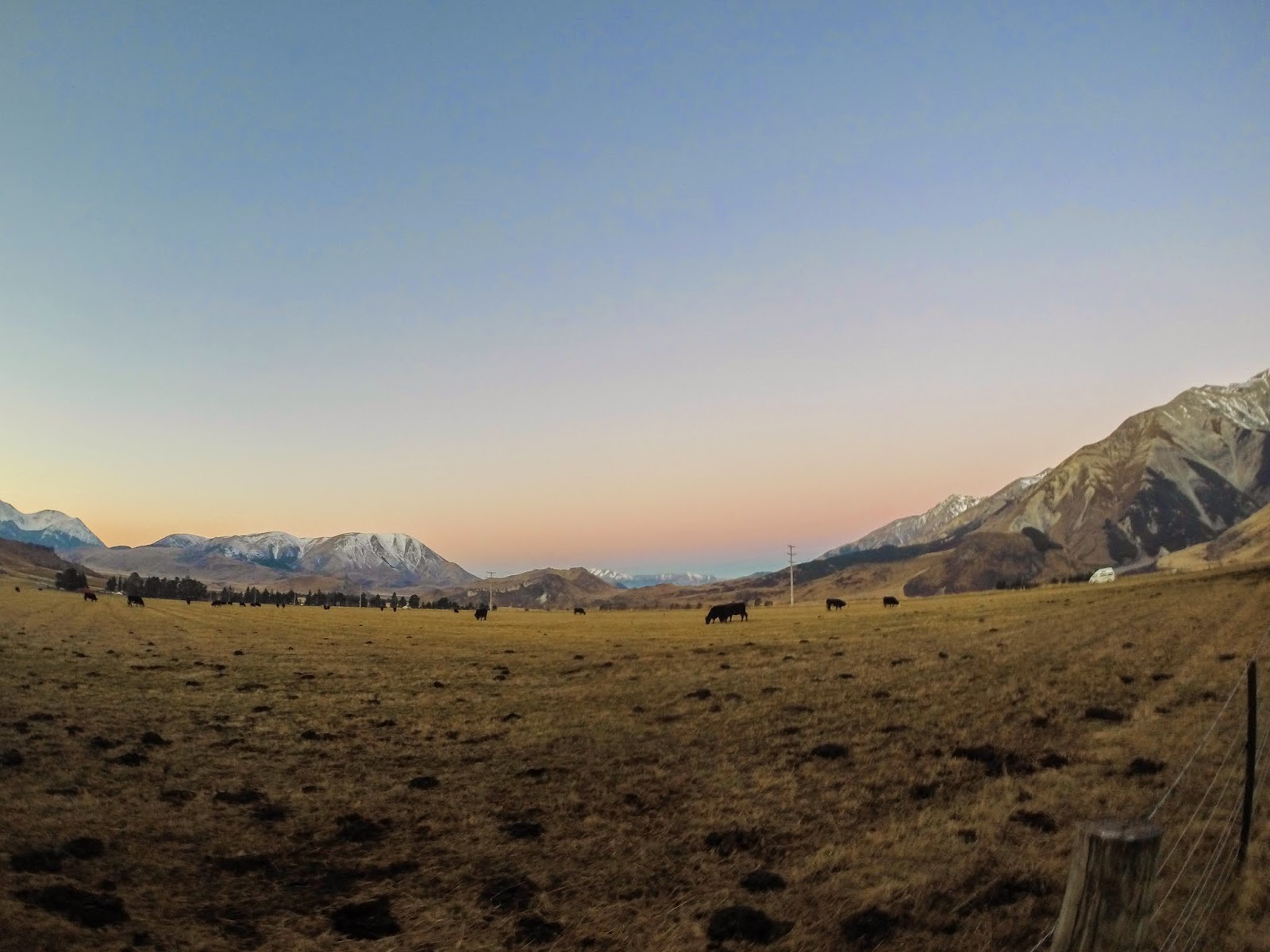
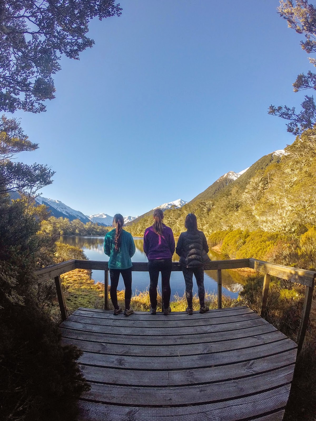
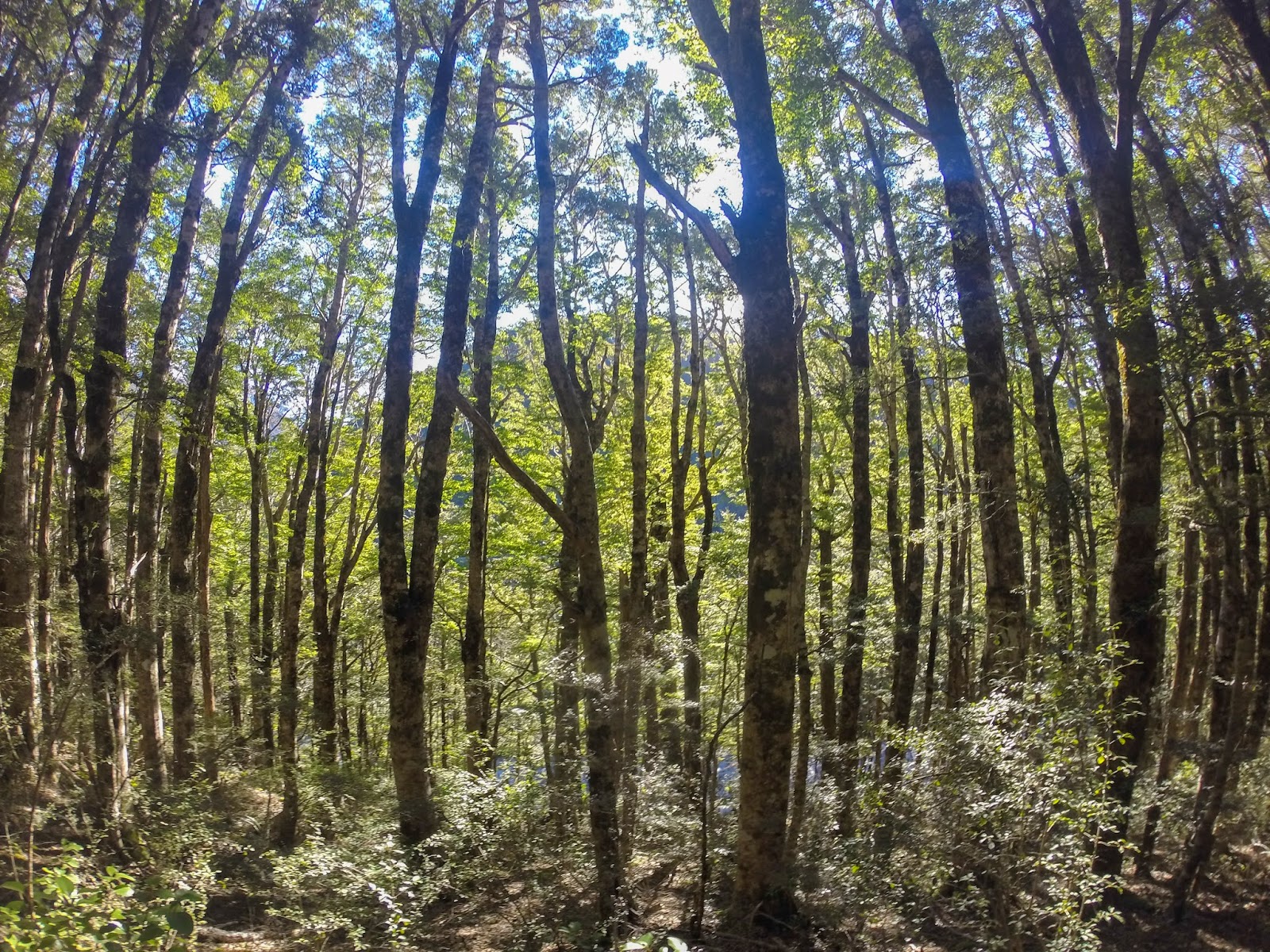
After driving only about an hour outside Christchurch, we were immediately immersed in the giant mountains which populate the south island. These weren't nearly as cool as what we would soon see, but they were still much larger than anything we had seen in the north island.

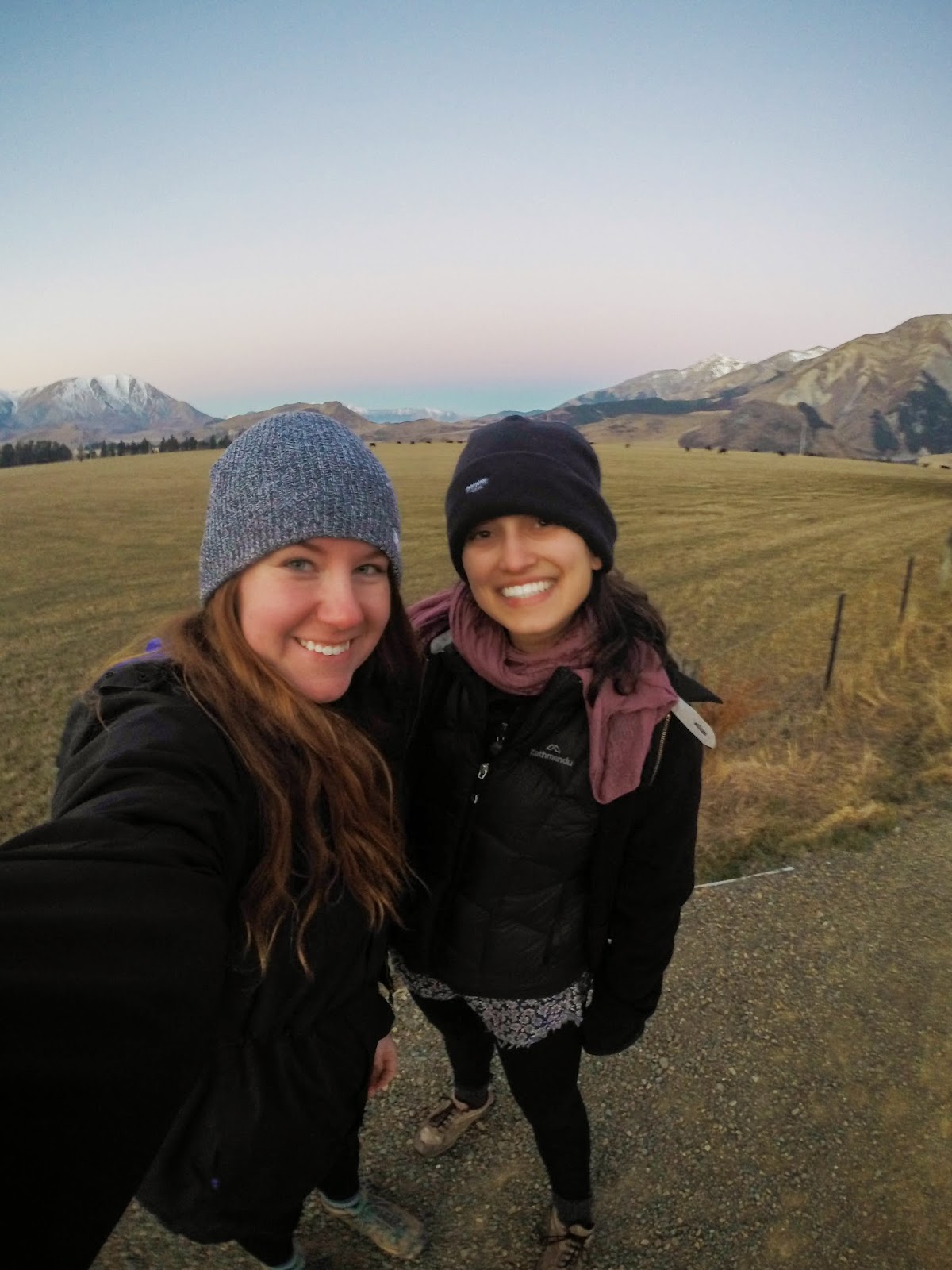
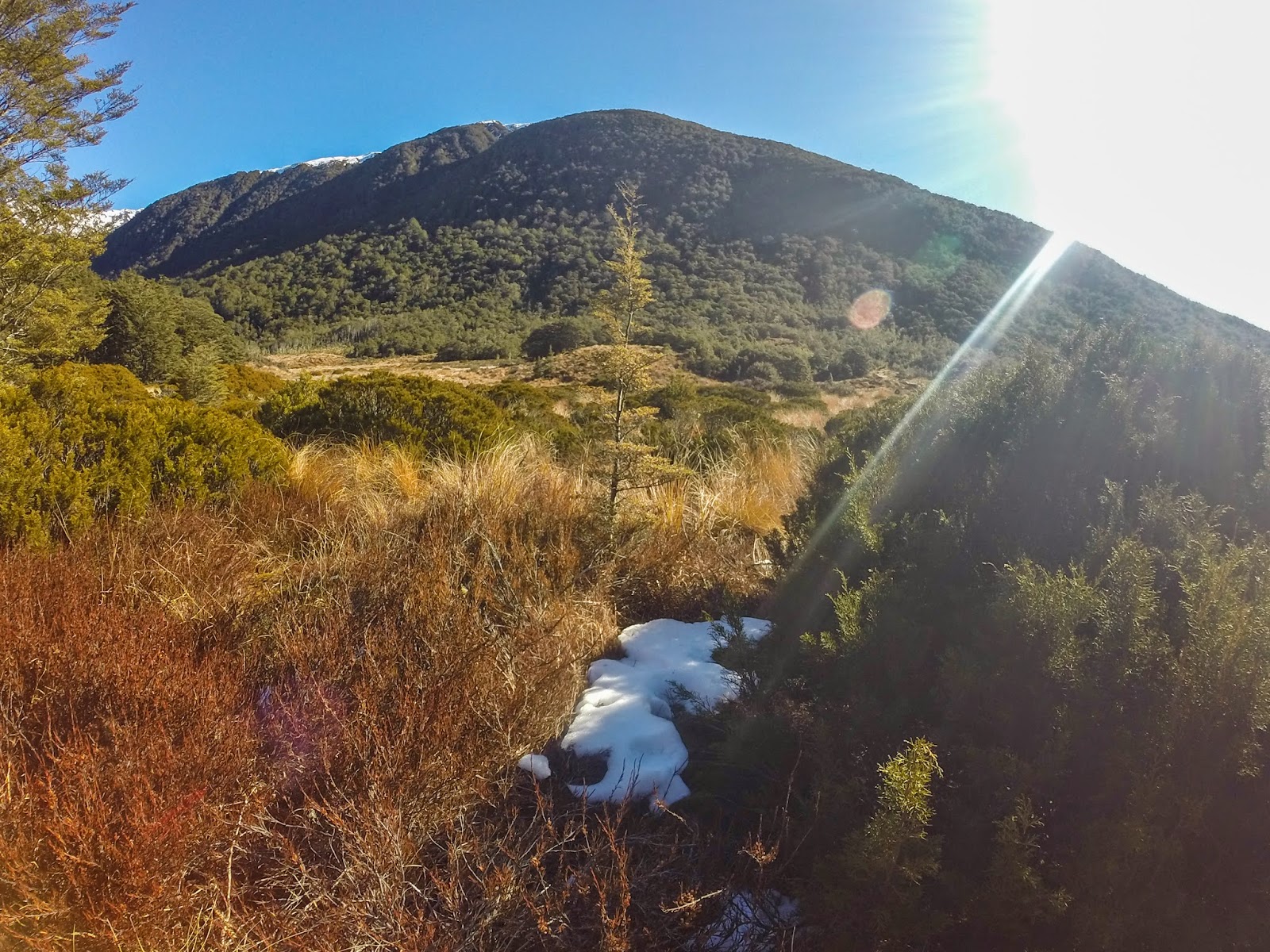
Alexandra and I at Castle Rock, about an hour outside Christchurch. The sun wasn't even down yet and already it was getting really cold so as you can see we were a bit bundled up. The south island skies were much clearer than the foggy/rainy conditions of Wellington, so even though it was nice and sunny pretty much every day during our trip, it was always close to freezing at night.


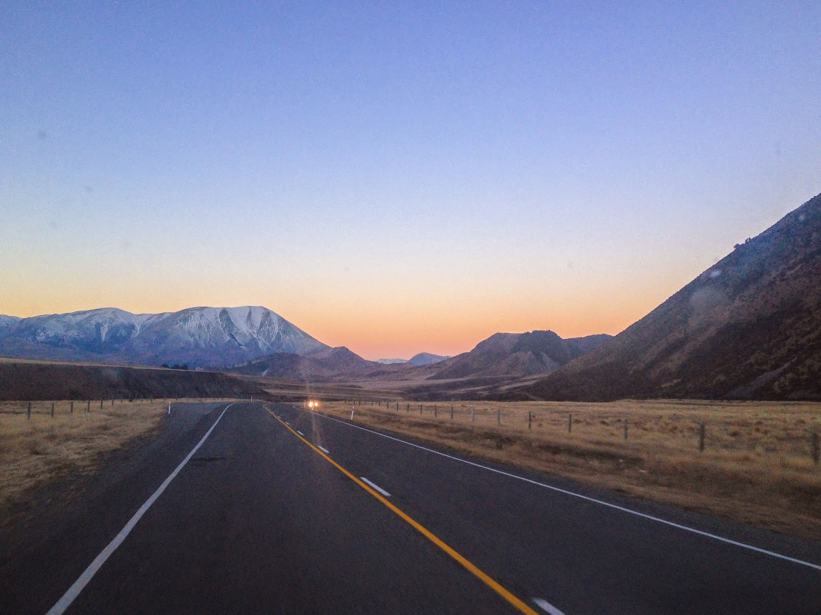
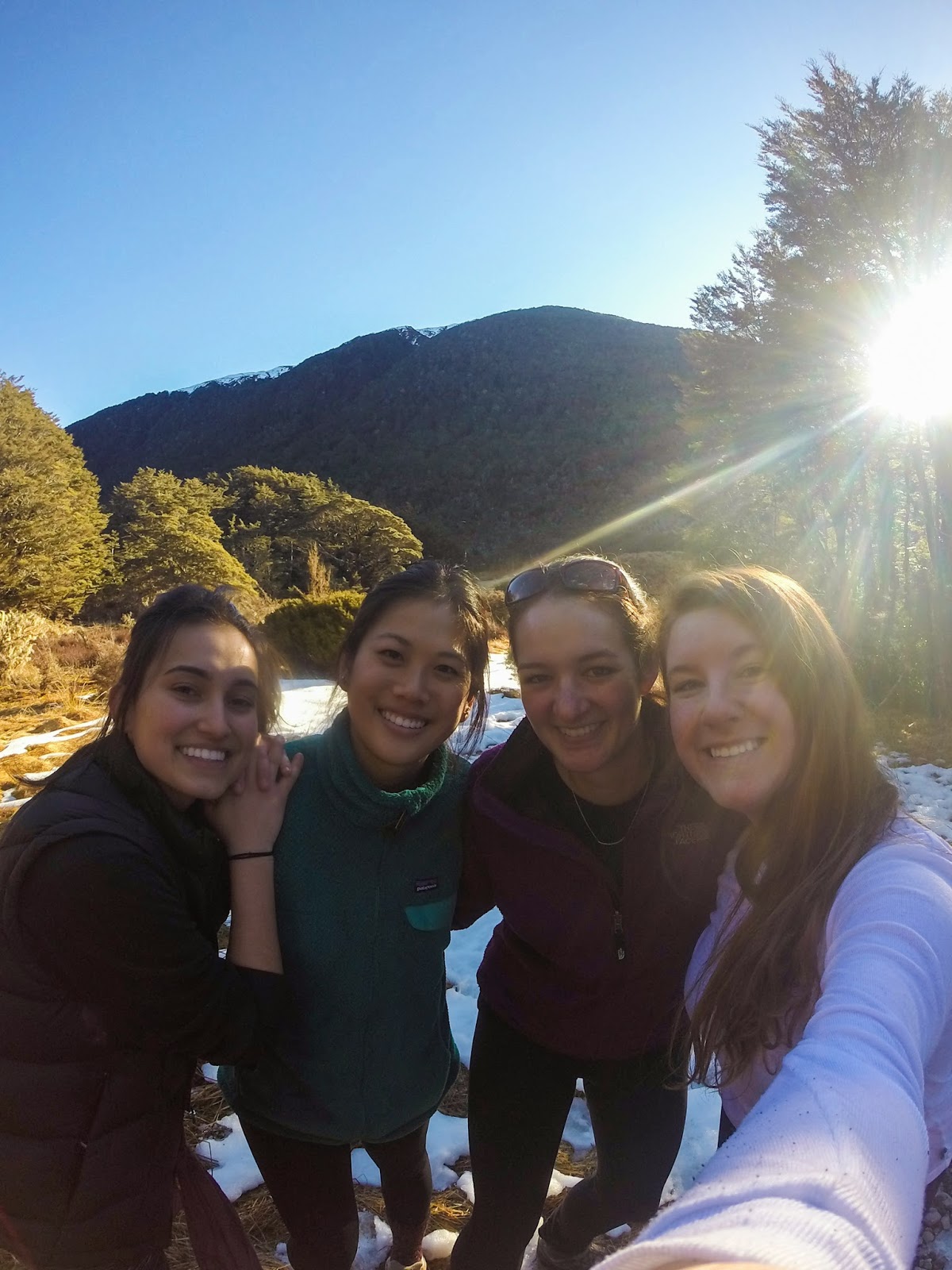
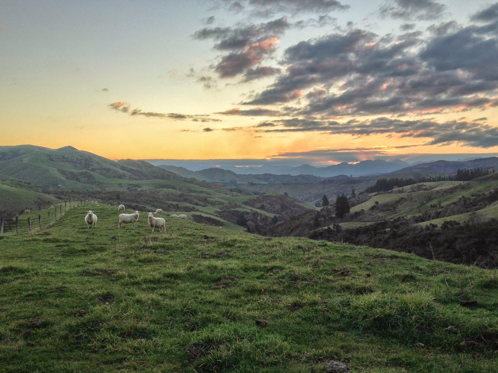
Some photos from the drive north towards Kaikoura, which is a few hours north of Christchurch. After spending the night in another town because of how late it was getting, and taking some wrong turns, we eventually got there, albeit a day behind schedule!

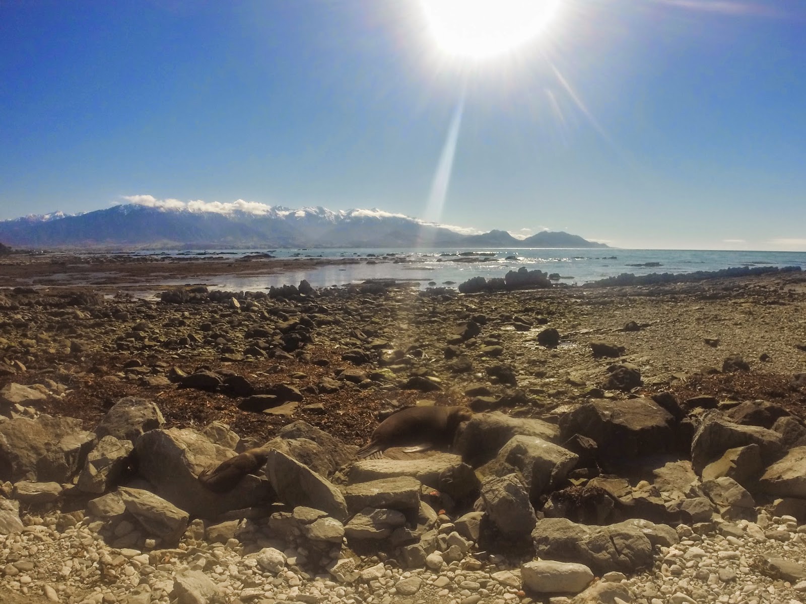
After our time in Kaikoura was shortened to one day instead of two, we had to pick one activity to do, and decided on sea kayaking. But first, we visited the famous seal colony, pictured above. We lucked into seeing some babies since it was almost spring at this point.

Getting ready to start kayaking! 

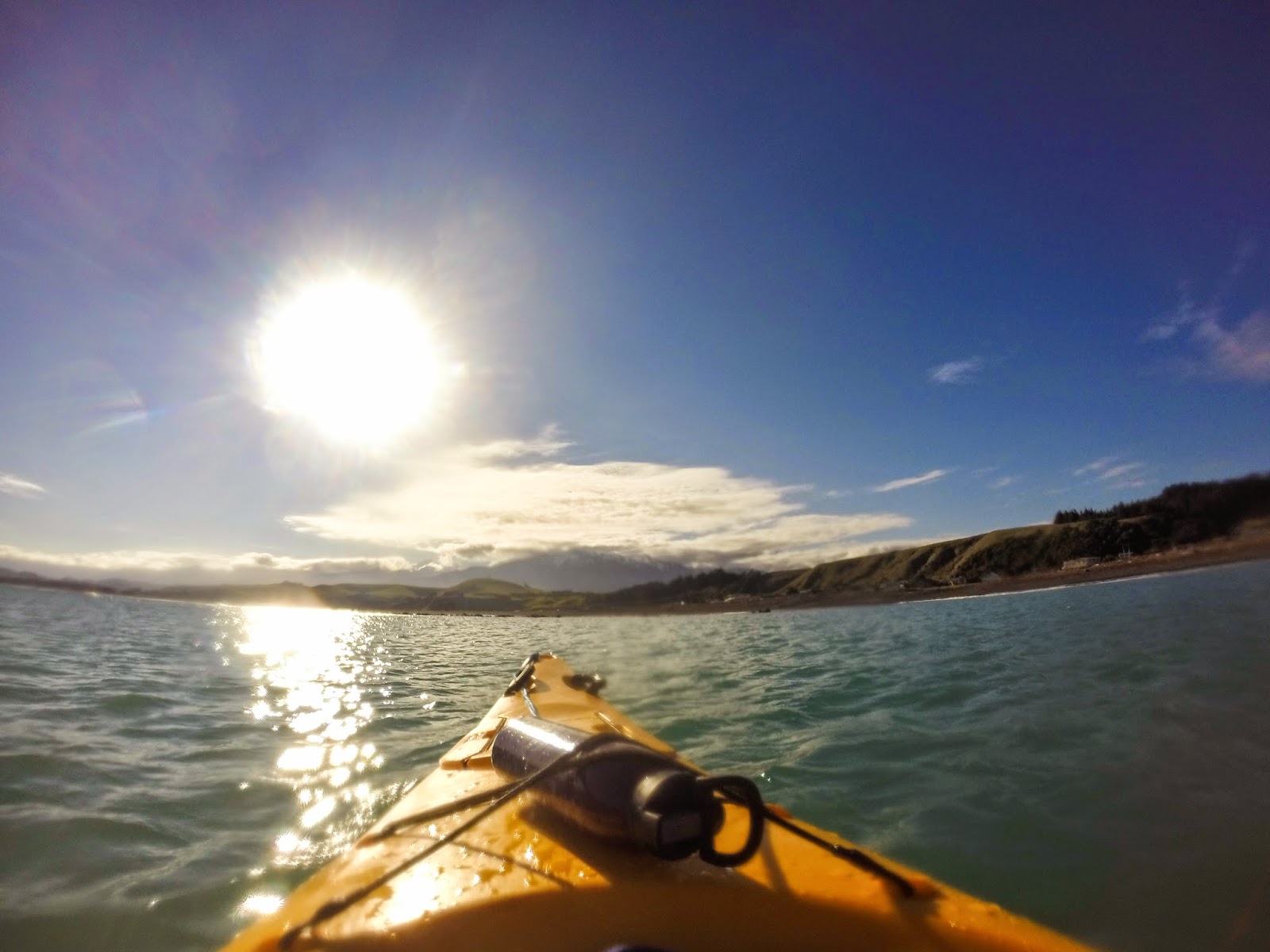
The kayaking trip was one of my favorite parts of our trip. Despite not getting to see any dolphins, we did paddle by a bunch of seals (including some swimming really close to us!) and had beautiful views of mountains and hills in the distance the whole time. 

18 August, 2014

Wellington's Finest

This weekend I went to three of the most well known tourist attractions in Wellington: the Botanical Gardens, Mount Victoria, and Te Papa Museum. Despite the fact that I live here now, it's still okay to do some of the touristy things, right? And the best part was that all of it was free! Not to mention how great the weather was the entire weekend. I can't believe it's the middle of winter here!

At the top of the cable car. This picture does a good job of showing why a lot of people think Wellington resembles San Francisco. 

Maria in the Botanical Gardens.
The rose garden.... without the roses. We decided that we'll have to come back here in the spring when there are actually flowers in bloom.


Inside the greenhouse, or as I called it, that really warm room with plants in it.

Carrot cake and coffee from the nicest little cafe next to the rose garden and greenhouse.
Happened upon this waterfall on our way out.

A cool little plaque in front of the waterfall.

A last look at the beautiful Wellington landscape on our way out.


The path up to the Mount Vic lookout, aka part of the path Sam and Frodo took on their way to deliver the One Ring.

A cool sculpture on the Mount Vic Summit.

A map of all the tracks around Mount Vic. We followed the yellow line from the drawing of buildings towards the upper left up to the summit in the upper middle. Eventually I want to do the entire track from the bottom point up to Oriental Bay, the blue area at the top, which is supposed to take about 5 hours.


120 degree panoramic view of the greater Wellington region, looking towards the northeast at Wellington Harbour. 

After climbing back down from Mount Vic, we decided to walk along the waterfront at Oriental Bay, one of the coolest little neighbourhoods with some of the nicest houses I've seen thus far in New Zealand.

Enjoying a passion fruit waffle cone sundae on the beach.

Walking along the water towards Te Papa Museum.

Te Papa is home to the only real giant squid on public display in the world. It was sorta gross, yet fascinating. 

A life size replica of a blue whale heart. Some of the aortas are big enough for a person to climb through!

The progressive deforestation of New Zealand from pre-human settlement, to the first Maori settlers, and finally to the European settlers. Despite this, however, everywhere I've been in New Zealand is still way greener than most places in the United States.