Apparently, one DOES simply walk into Mordor. Or at least we did! The Tongariro Alpine Crossing is one of the most popular treks in New Zealand, and a large part of that is because it goes between Mt. Tongariro and Mt. Ngauruhoe, or as it's better known thanks to Peter Jackson, Mt. Doom. Most people who do this crossing opt for the one day version, and stay in hostels or hotels the night before and after. But as the adventurers that we are, we decided to backpack the whole thing and do the Tongariro Great Walk, which incorporates the famous Alpine Crossing as one of the days. This means that we had to carry our tent, stove, food, clothes, etc. on our backs as we made the climb up and over the mountain. And yet, we still completed the crossing portion of the track the same 8 hour time frame that they estimate for everyone who does it without 30 lbs on their backs, so GO US. Ultimately, the entire 26.5 mile track took us just a little over 48 hours, as we started walking at around 4pm on Thursday and finished at around 6pm on Saturday! This weekend was definitely one for the books, see for yourself below:
 |
| Starting off on our first evening. We planned to walk for only 3 hours to the first campsite after our long bus ride to the national park, but this took us over 4 hours since the track was essentially a creek due to rainfall. |
 |
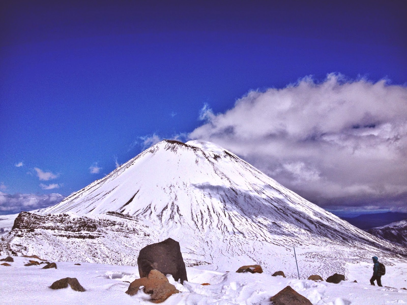
| Mt. Doom itself. |
 |
| Observe the sexy orange raincovers. |
 |
| Probably one of the greatest moments of my life. As we were walking, complaining about how annoying the rain was, we suddenly see the biggest and brightest rainbow, both ends completely visible, and perfectly framing the mountains. So thank you, rain, for this MAGICAL moment. |
 |
| The morning view from our first campsite, before our long day of doing the crossing. This view was also spectacular at night, as the nearly full moon shone bright on the snowy mountain (couldn't get a picture of it though). |
 |
| Making quick elevation progress. That sort of lumpy, snow covered mountain not too far in the distance is the same mountain that is next to Ngauruhoe four photos above this one. |
 |
| Mt. Doom, up close and personal. This was about as high as the track took us. People can take a 3 hour side trip to the summit of Nguaruhoe, but that is generally only advised when there isn't any snow due to avalanche danger. |
 |
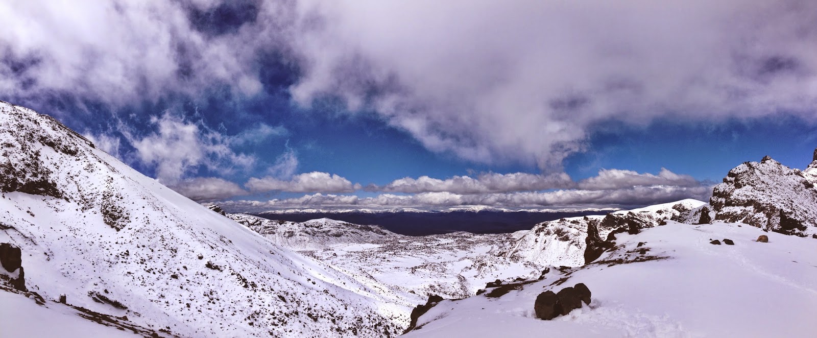
Snow all around. Just a week or two prior to when we went there was almost no snow on the mountain or surrounding area. While I'm sure having the snow there made our hike more difficult, I think it was well worth how beautiful it was.
 |
| I forgot to mention that Mt. Ngauruhoe and Mt. Tongariro, the two mountains that the track goes right in between, are currently active volcanos :O |
 |
| Looking back at the trail after a bit of descent. This photo doesn't even begin to capture how steep it felt in real life. Not pictured is the even steeper, snowier side of the mountain that we had to climb up. Because of how windy it was in that portion of the track, they estimated that it was as low as 12 degrees Fahrenheit with the windchill. So yeah, didn't really feel like taking any photos on the way up. |
 |
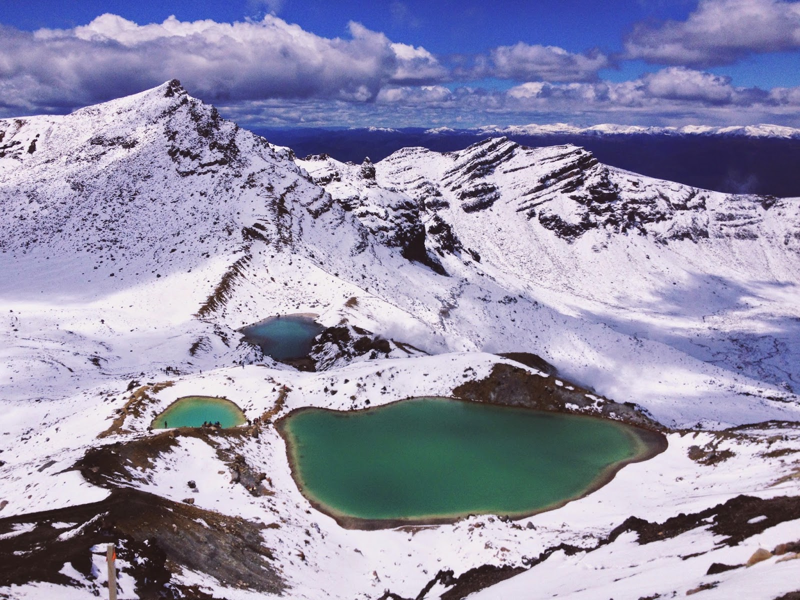
| Emerald Lakes after just coming over the top of the hill. Can't beat this view. |
 |
| One of the lakes up close. Yes, the water is actually this green (it's caused by minerals dissolved into the water since the whole national park is a volcanic thermal area). |
 |
| Another, not quite as green lake. |
 |
| Sunset on the bus ride back to Wellington :) |
|


