09 July, 2014

Lake Waikaremoana

We backpacked a "Great Walk"! This is one of New Zealand's nine "premier tracks that pass through diverse and spectacular scenery". As you can see from the photos, we REALLY lucked out on having great weather the entire backpacking trip despite it being the middle of winter here.

All the way up to the top we got glimpses of the lake. Photos don't even show half it's beauty.

Always gotta take a selfie on the lookout points.

View from the top. It was COLD AS up there.

A view of the lake from the bottom of the mountain. We went up and down the mountain in one day even though most people take two to do it.

One of the many suspension bridges along the walk. I had a lot of fun running and jumping on these, although I can't say that the others I was with appreciated it too much ;)

The lake was beautiful even when it was overcast.

One of the days, we took an hour long detour off the track to see this waterfall, which was actually a lot bigger than it looks in this photo.

Another suspension bridge.

And we finally made it! On the left you can see the water taxi which took us back to our car.

A shot of the lake from the water taxi.

Rotorua

Despite smelling like sulfur (i.e. rotten eggs) all the time, Rotorua was another really cool place. Not pictured here, we also went river rafting down the highest commercially rafted waterfall in the world, which was awesome.

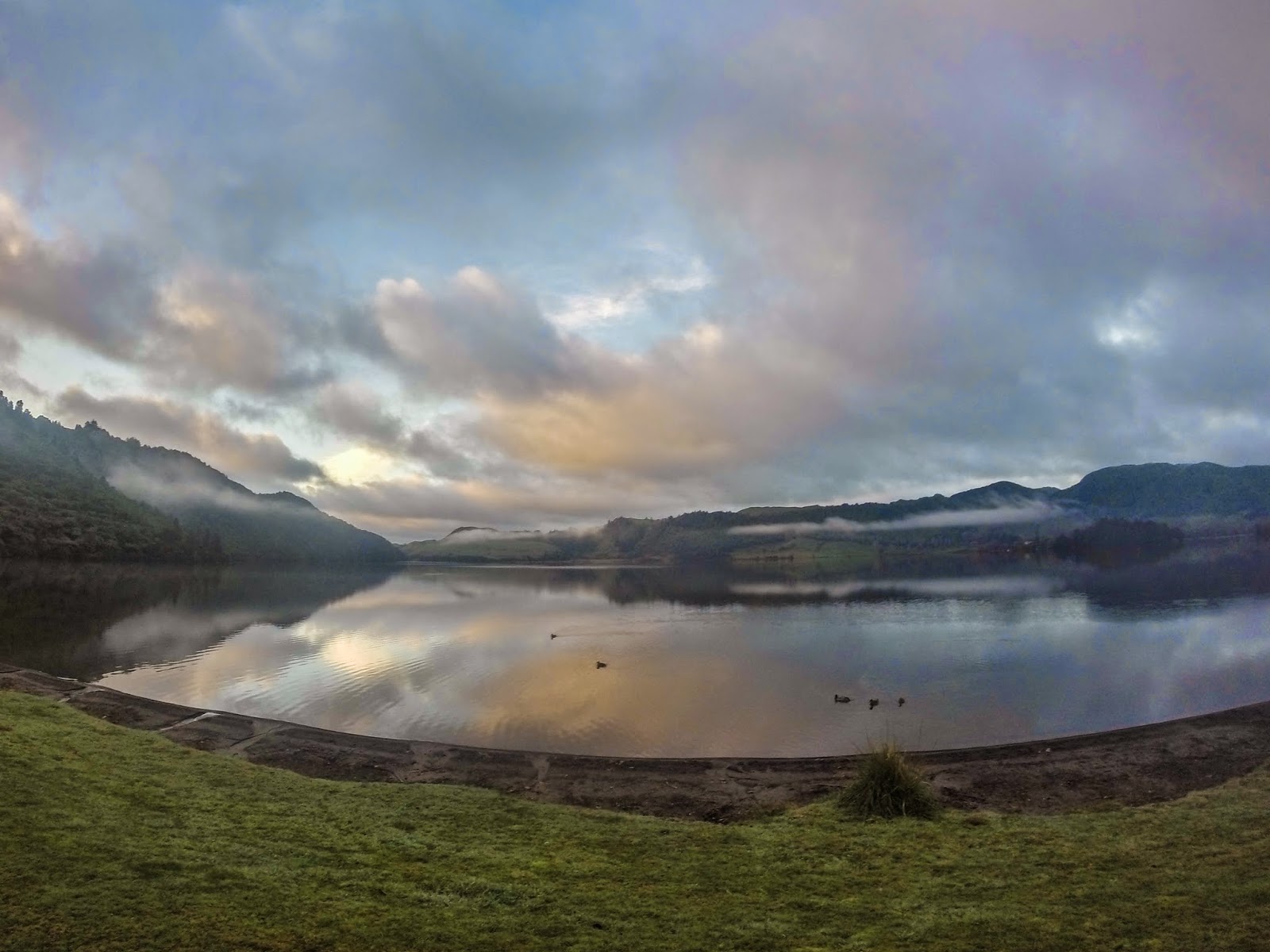
Another campsite we showed up to late at night and in the dark, with an awesome view in the morning. However, we were probably a little less enthusiastic this morning than at Cape Reinga due to the fact that we slept in the car at this site (although on the bright side, the DOC worker the next morning only made us pay half price for the site since he felt bad for us having such a miserable night)

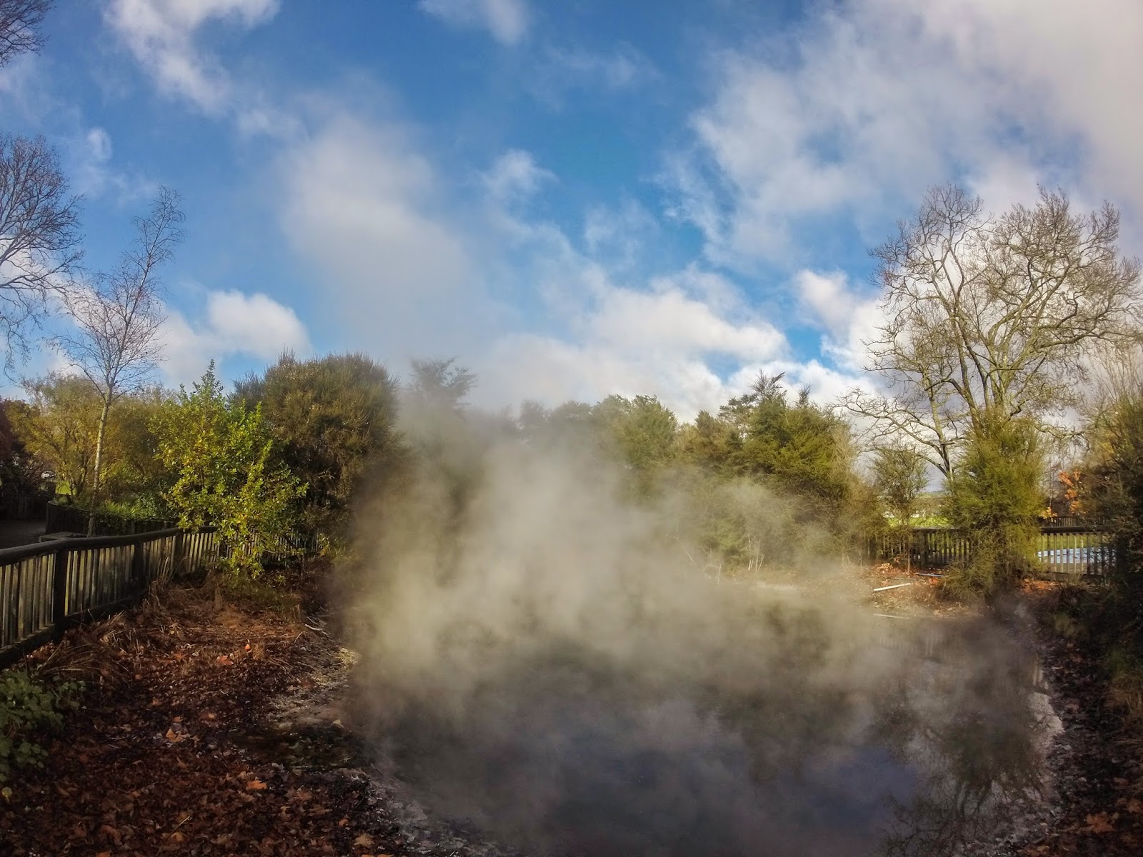
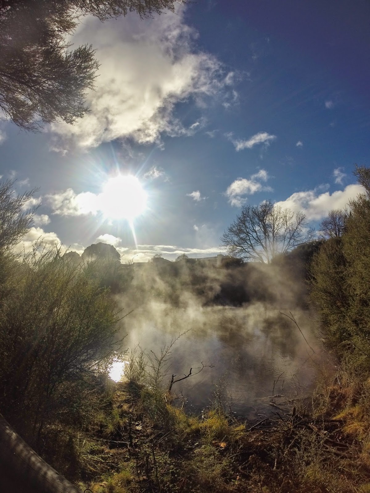
One of the many natural hot springs in Rotorua.

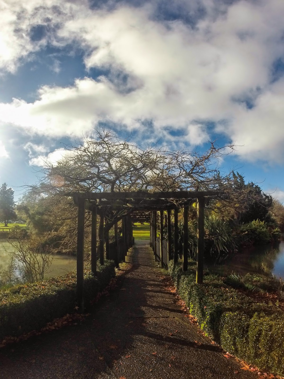
A LOTR-esque walkway in the park.

Another natural hot spring.

Coromandel Peninsula

Coromandel Peninsula, or The Coromandel as some locals call it, was the next area we stayed at. It was another highlight of the trip for me. 

The walk down to Cathedral Cove. We got really lucky with gorgeous weather this day, as it had been storming before and after we were there.

Walking along the beach at Cathedral Cove.

Going swimming! The water was freezing at first but I got used to it pretty quickly.

Maria exploring some of the rocks.

It looks like they're all about to jump in and join me in the water (they didn't).

While the others were laying out on the beach, my easily-sunburned self swam around and discovered this hidden cave with a little pond in it. 

Thanks GoPro for being able to get shots like this.

Another cool place on the peninsula was Hot Water Beach, where people dig holes in the sand and hang out in the hot water that comes up.

Here you can see the steam coming off the water, that's how hot the water was!

Another day, we walked out to Opera Point, which had more shells than anywhere else I've ever been.

One of the shells I found in the tide pools.

All of our shells (note the rain jackets... not so great weather this day)

Cape Reinga

Cape Reinga is the very northernmost point of New Zealand, and the next main place we spent time at. Despite having no electricity or showers for about three days, it was definitely a favorite part of the trip for all of us.

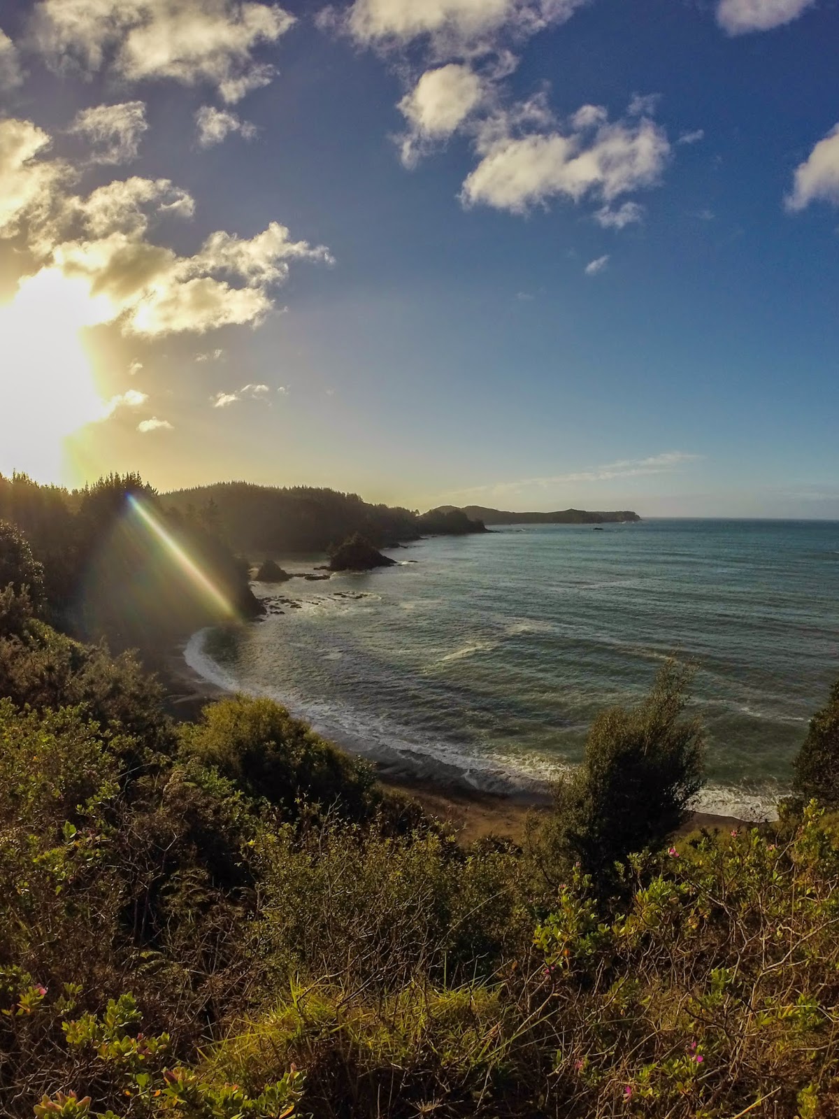
We arrived to our campsite late at night, paid $6, and pitched our tent surrounded by darkness, unaware that this would be the view we'd wake up to the next morning. 

Another shot of the view from our campsite.

Our hike to Cape Reinga began with torrential downpour, but after about an hour the sun finally came out and we lucked into great weather for the rest of the day.

The views from this hike were unreal. Photos can't begin to capture it.

Some of the very steep stairs we had to climb up and down on our way to and from the cape.

We finally made it to the top! 

Chillin' at the northernmost point of New Zealand. Here you can see the Tasman Sea (on the left) meeting the Pacific Ocean (on the right).

A cool sign located at the cape.

The lighthouse at the cape.

On our way out of Cape Reinga, we visited some giant sand dunes that we slid down on trash bags.

Another shot at the sand dunes.

Sand dune selfying. 

Bay of Islands

Bay of Islands was our first stop on our roadtrip, and the only place on the trip we didn't really get to do what we were planning to do. A popular tourist place for swimming, kayaking, snorkeling, etc. in the summer, Bay of Islands was a rainy ghost town in the winter. However, we ended up doing some really cool stuff anyways, and the experience also prompted us to actually plan things to do in each location of our trip rather than just show up hoping to find something to do.
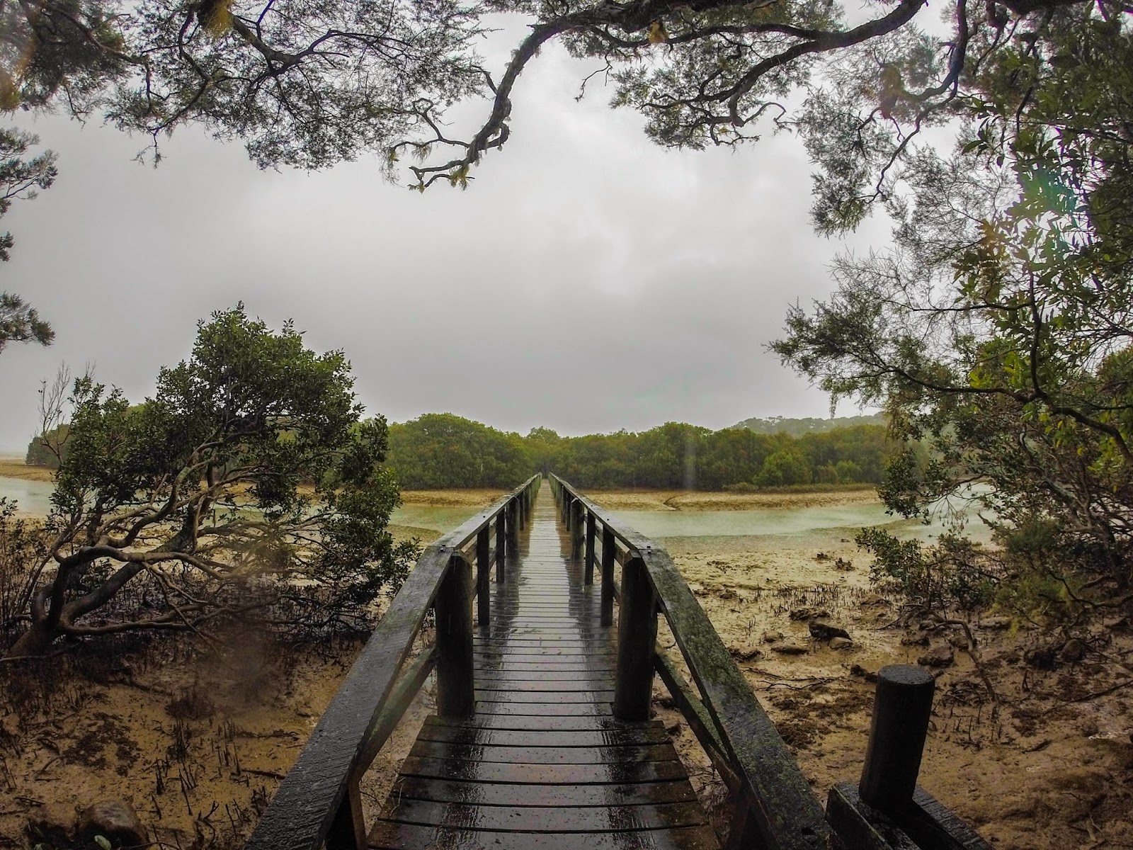
A bridge from our first hike of the trip, in the Waitangi Treaty Grounds in Paihia. This was one of the rainiest hikes, but still fun.
Haruru Falls, the destination of the aformentioned hike.

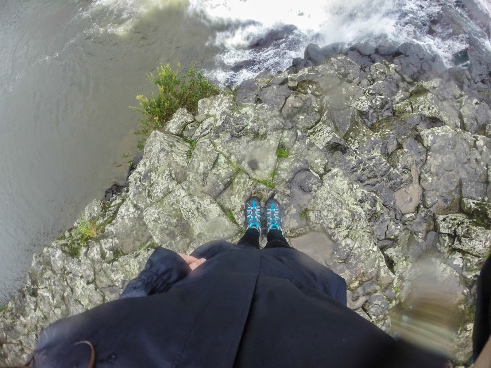
Standing cliffside by the waterfall. New Zealand generally doesn't have fences or warning signs around its attractions :)

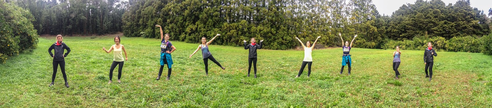
Having fun with the panorama feature on my phone.

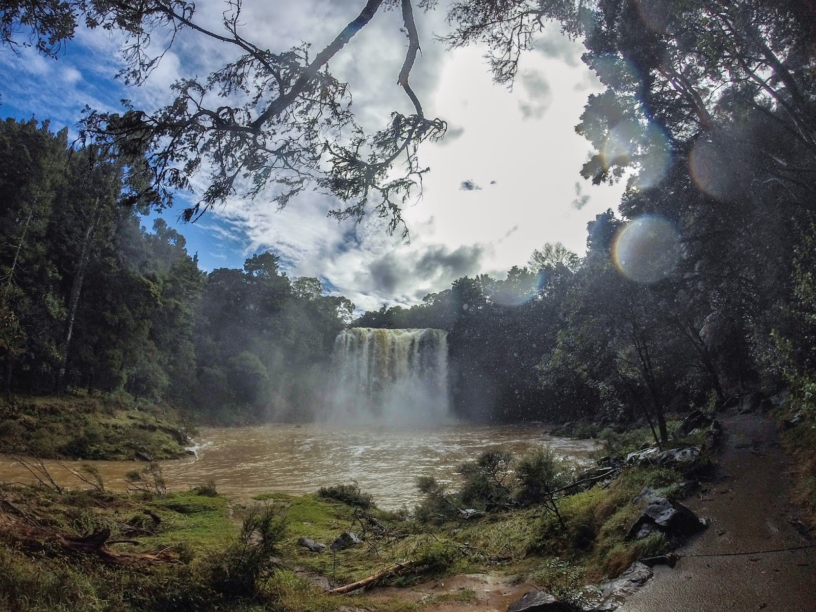
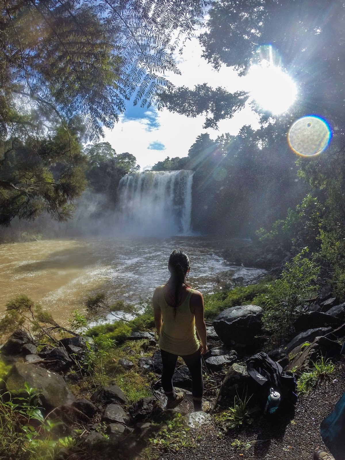
Rainbow Falls, the AMAZING destination of the next day's hike in Kerikeri. 

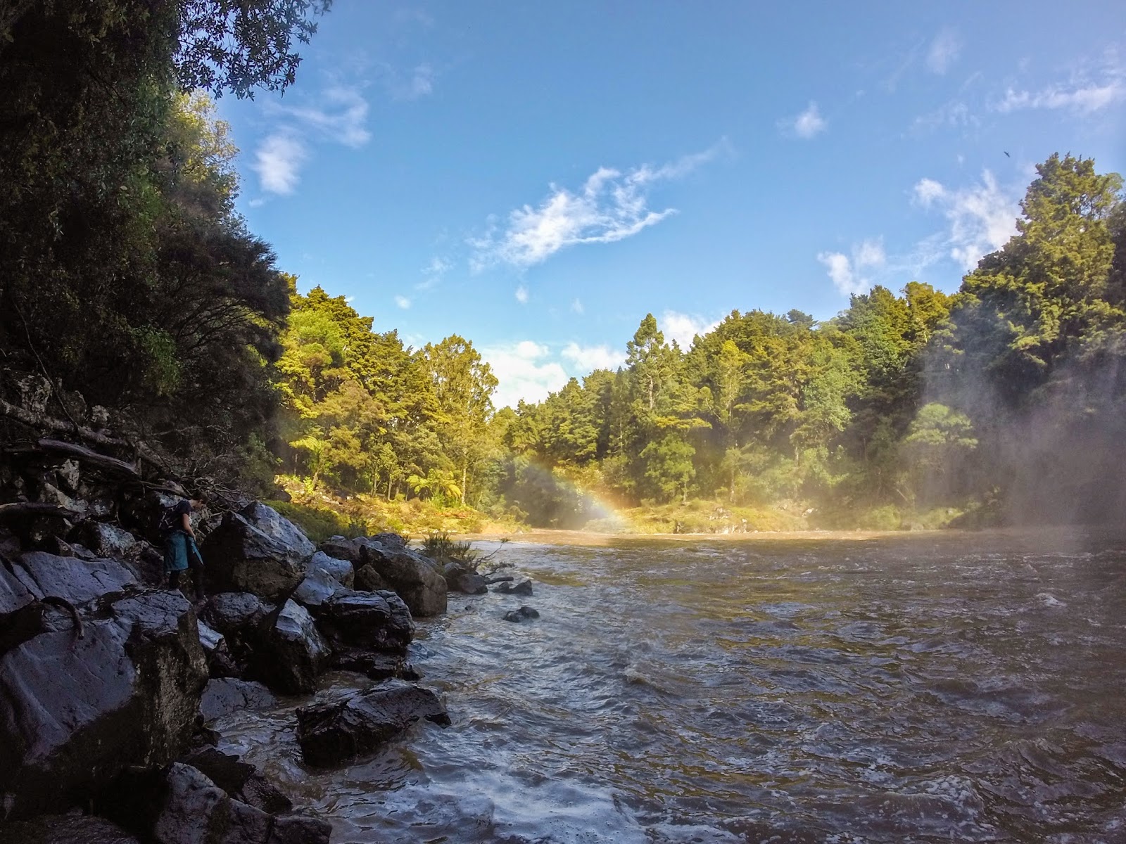
The rainbow across from the falls and for which the falls are named.

Trying to climb over wet, slippery rocks and through the mist to get to a cave behind the falls. Alexandra and Maria ended up going all the way, while Robin and I decided it was too slippery and turned back at about this point.

The first day of the trip we were lucky enough to see the sun!!!

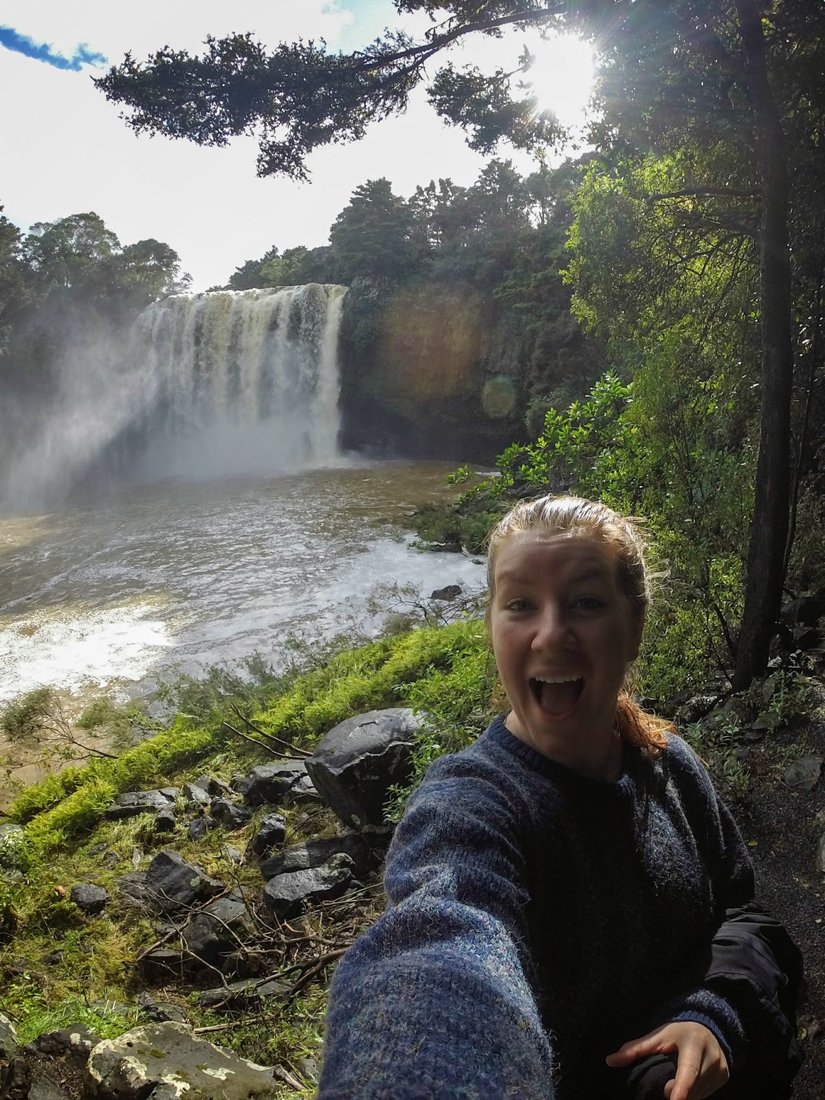
Waterfall selfie! Featuring soaking wet hair due to climbing around near the base of the waterfall. 

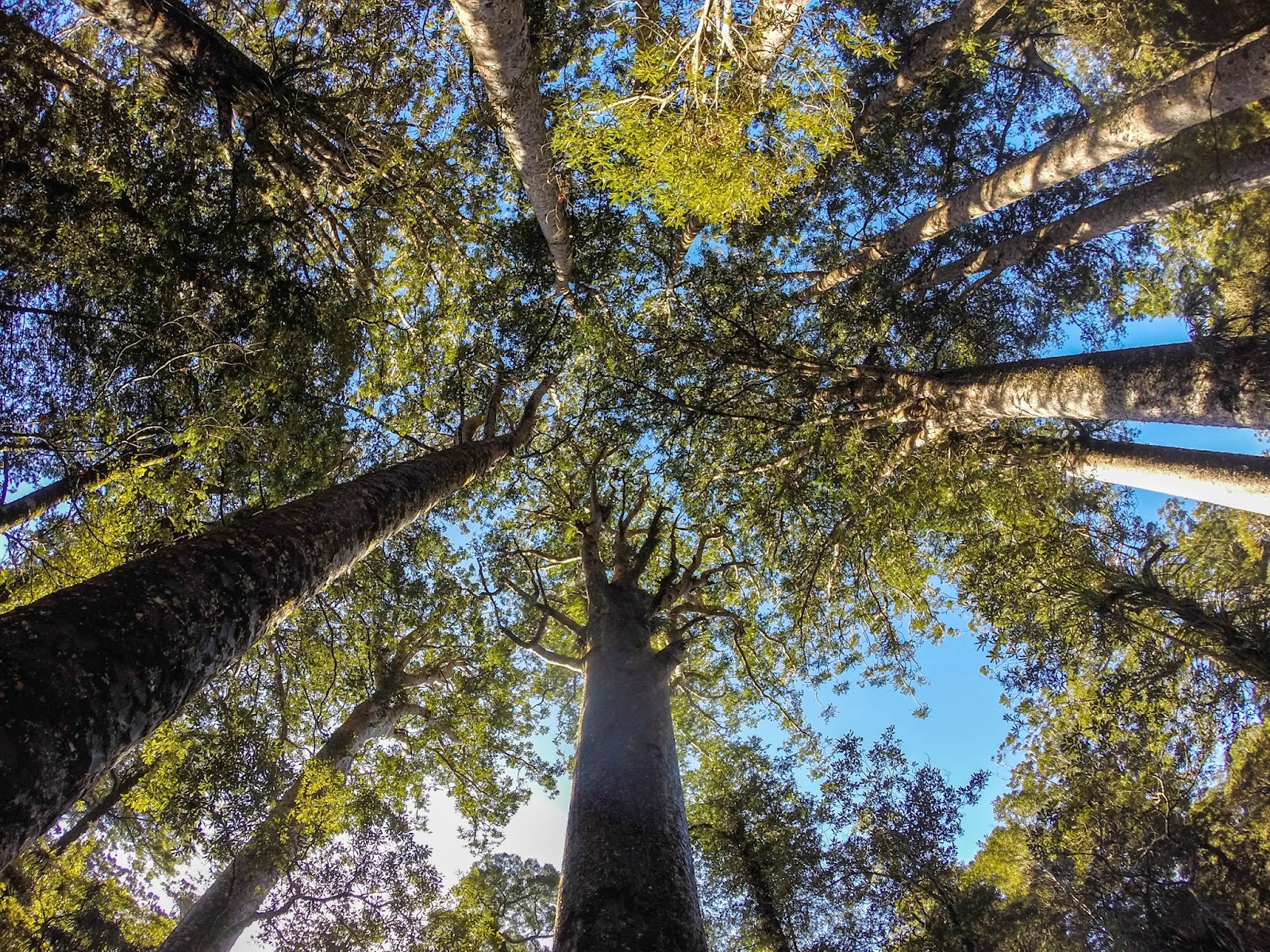
A bit north, we passed through the Puketi Forest, home to Kauri trees, which are the oldest and largest trees in New Zealand.

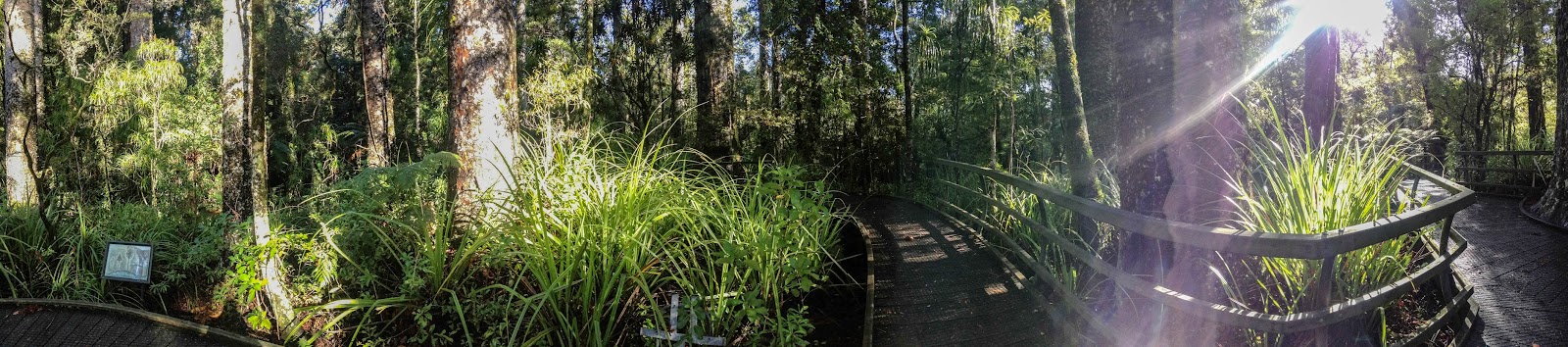
A panorama of our lunch spot in the forest.

Driving farther north, we took an hour or so long detour on this drive, which a local told us was "a must".